Drone & aerial surveys
Aerial mapping, inspection, thermal imaging and field data capture by an experienced CASA-certified operator.
Enquire about surveys ↗ AI FIRST NATIONSTECHNOLOGY FOR COUNTRY
Combining Indigenous leadership, professional drone operations and emerging AI to support environmental monitoring, Ranger capability and better decisions on Country.
Practical technology services designed for communities, land managers, schools, councils and industry.
Aerial mapping, inspection, thermal imaging and field data capture by an experienced CASA-certified operator.
Enquire about surveys ↗Mangroves, wetlands, invasive weeds and wildlife monitoring with field-grounded workflows.
See field applications ↗Exploring image analysis and mapping tools that help turn drone data into useful environmental insights.
Explore our technology ↗Practical drone familiarisation, supervised flying and technology pathways for young people and Ranger teams.
Open Drone School ↗Discuss a program ↗Ngarrakan Ngardiji is our separate learning site for students, schools and Ranger groups. Seven levels introduce drone knowledge through stories, safety rules, creative activities, match-ups, quizzes and certificates.
Use the lessons on screen, or download printable packs for learning offline. For supervised flying sessions and school programs, contact AI FIRST NATIONS.
Real places, practical equipment and work grounded in Country. A closer look at our environmental work and drone capability.
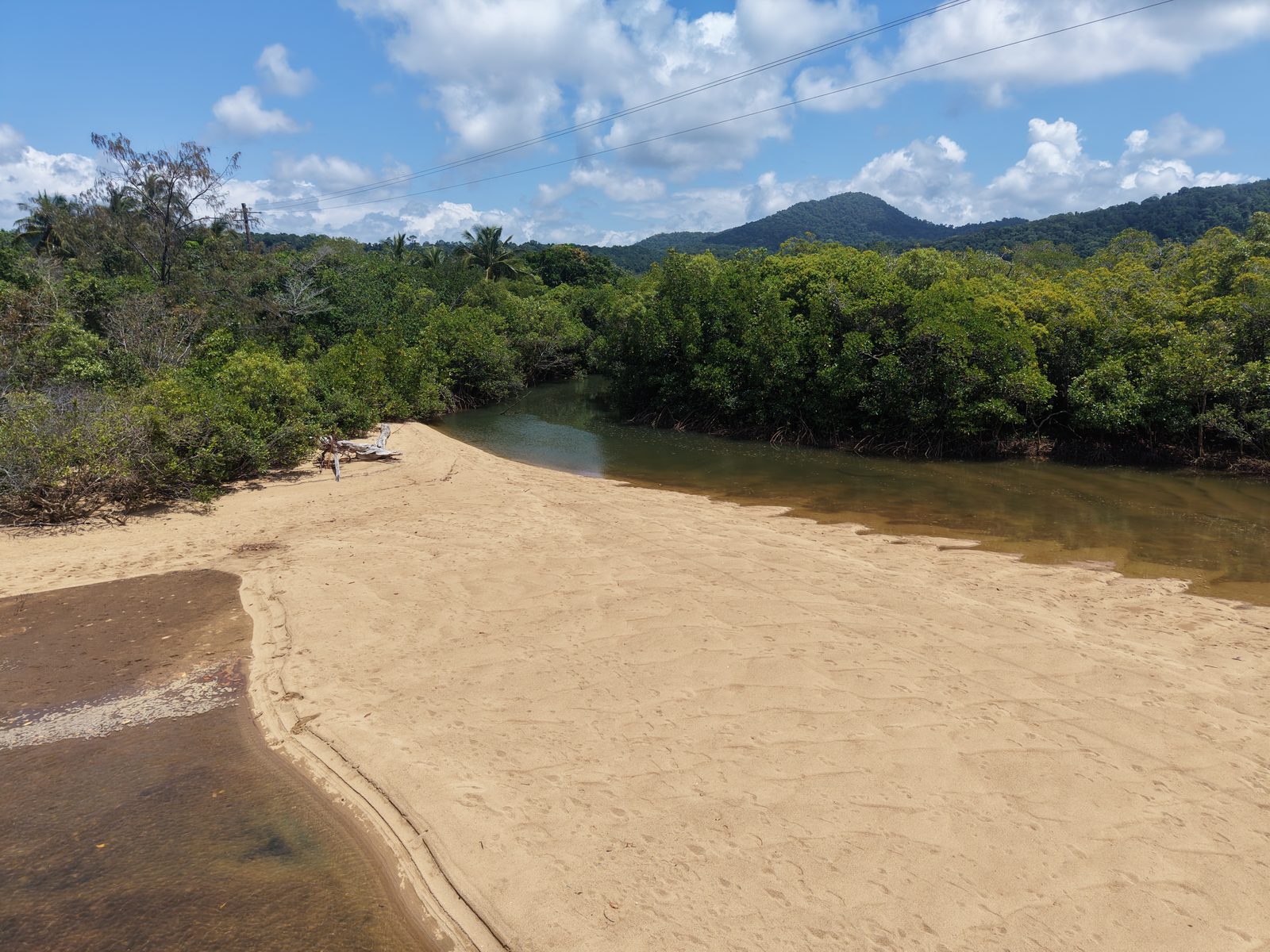
Working with Goondoi Arts Aboriginal Corporation, AI FIRST NATIONS brings drone surveys and practical field experience to Blackfella Creek and surrounding wetlands.
We acknowledge the Mamu People, Traditional Owners of the Country where this work takes place.
Discuss environmental monitoring ↗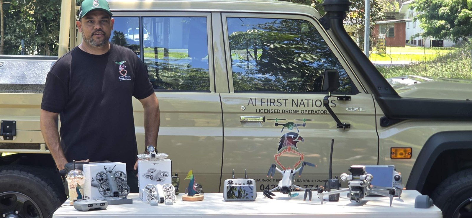
In October 2026, AI FIRST NATIONS delivered Drone Class 101 for 29 Year 6 students during Trinity Anglican School’s camp with Goondoi.
An overhead view of marine wildlife at Bungan Beach. This short field recording shows the detail a drone can bring to coastal observation.
Discuss coastal monitoring ↗AI FIRST NATIONS is exploring drone imagery, geospatial analysis and software workflows that can support decisions on Country.
AFNOS and research collaborations are evolving initiatives. Availability and capabilities will be described accurately as development progresses.
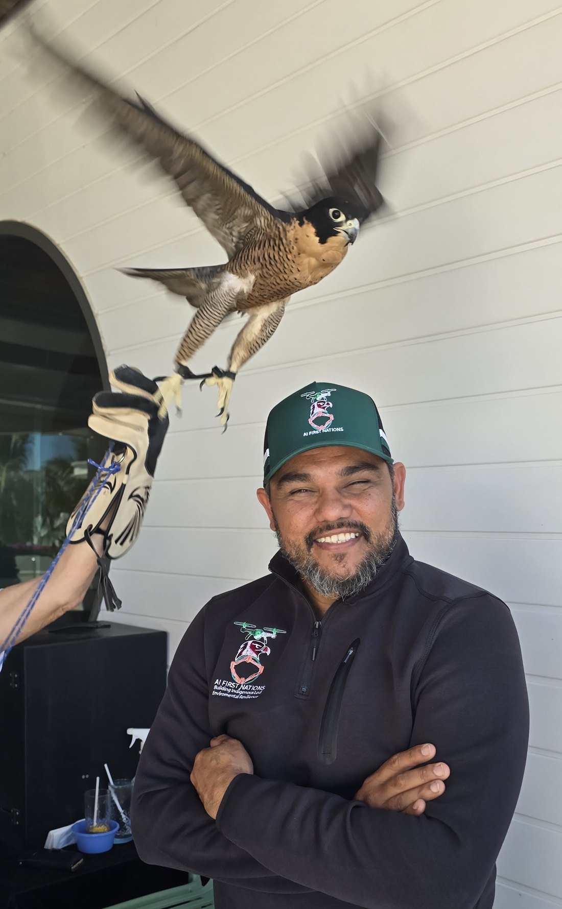
AI FIRST NATIONS brings Aboriginal leadership and practical field experience into modern drone and environmental technology. Our focus is useful outcomes, respectful partnerships and skills that remain with communities.
Choose the service you need. Tell us your location, preferred timing and the outcome you’re looking for.
Mapping, inspections or aerial data capture.
Start an enquiry ↗Wetlands, weeds, wildlife or repeat monitoring.
Start an enquiry ↗Drone Class 101, Ranger teams or school programs.
Start an enquiry ↗